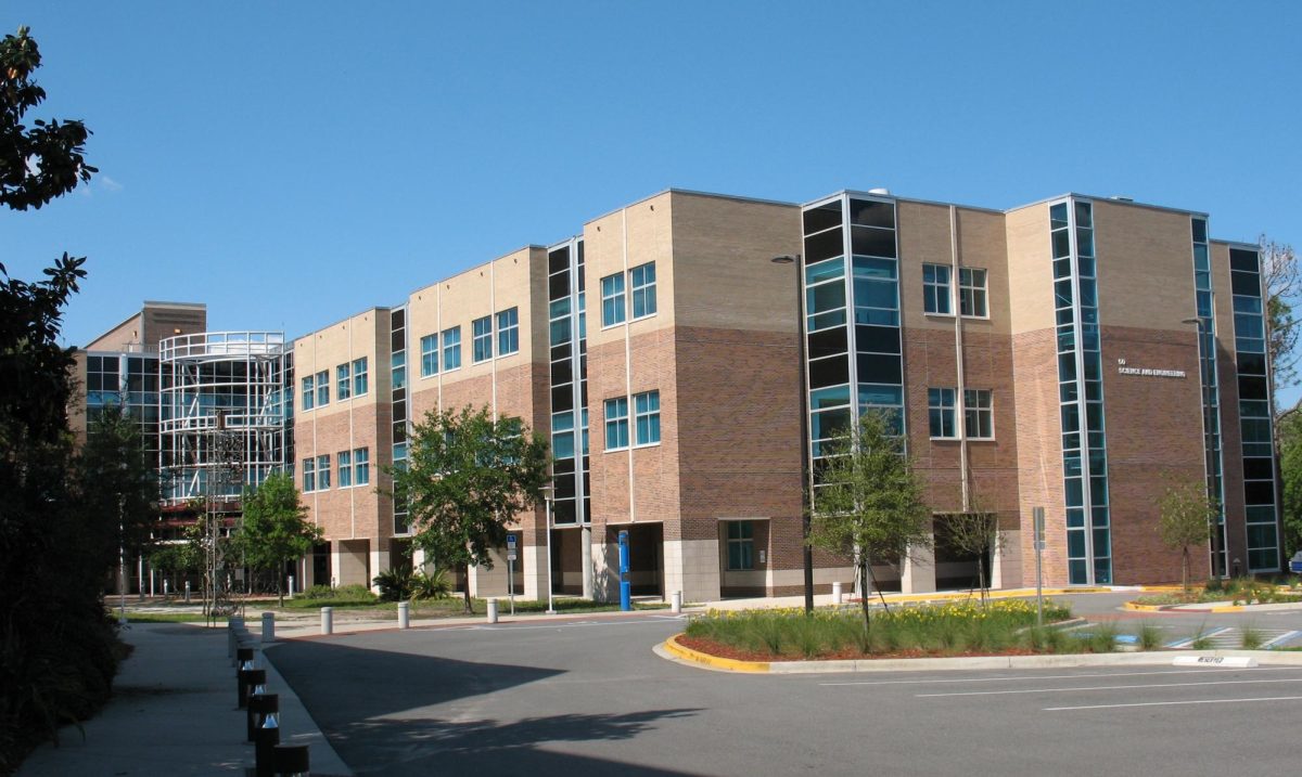
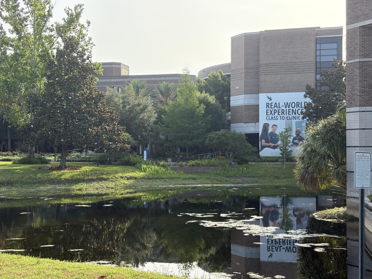
The city of Jacksonville has teamed up with the University of North Florida (UNF) to create a city-wide heat map. Dr. Adam Rosenblatt, an assistant professor of biology at UNF, initiated the project after seeing a post on Twitter.
Dr. Rosenblatt reached out to North Carolina’s state climatologist after reading her tweets about a heat mapping project in Charlotte. After speaking with her and pitching the idea to Jacksonville’s Chief Resilience Officer, Dr. Rosenblatt applied for funding.
Receiving approval from UNF administrators and funding from the National Oceanic and Atmospheric Administration, as well as the city of Jacksonville, Dr. Rosenblatt’s idea started to take shape.
He reached out to UNF’s Institute of Environmental Research and Education to help get students involved in this project. All members of the Jacksonville community are also encouraged to participate.
Data collection is set to begin and end in a single day. Though the date has not yet been decided, Dr. Rosenblatt can confirm it will be in June. The data will be collected by heat sensors placed on volunteers’ cars while they drive along specific routes.
Each volunteer will receive a navigator to properly follow the route they are assigned. Participants will drive their designated route three times throughout the day—once in the morning, once in the afternoon and once in the evening—for an hour at a time The sensors will then be collected and sent to the company creating the map. The finalized version of the heat map is expected to be available by August or September.
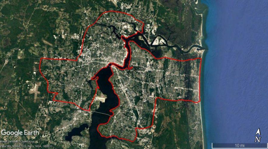
Dr. Rosenblatt explained that satellites are typically used to create heat maps, but aren’t very precise when it comes to specific areas.
“The benefit of doing this type of study that we’re gonna do, we’re gonna get hyper-localized data on a street-by-street level just for the city of Jacksonville,” he explained.
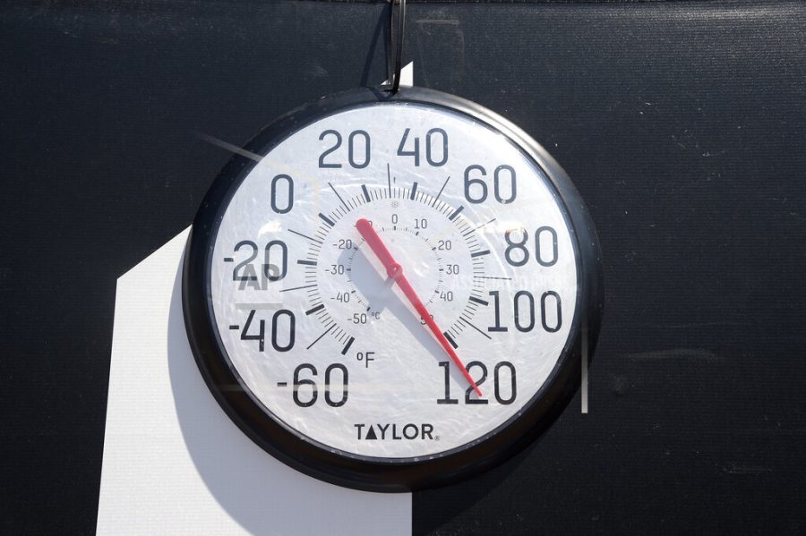
The heat map created through this project will be beneficial for prioritizing areas that are experiencing higher levels of heat than others. In the current climate crisis the Earth is in, Dr. Rosenblatt says, heat maps are becoming more and more necessary.
“The projections for heat in Jacksonville over the coming decades are really scary. I wanted the city to have this data, like sort of a baseline of what heat looks like across the entire city so that they could plan for how to mitigate heat stress in the future. It can become a huge public health nightmare,” Rosenblatt warned.
Heat is a “silent killer,” according to Dr. Rosenblatt because it is not as widely talked about when compared to a direct cause of death caused by hurricanes, floods or tornadoes. To combat the heat, Dr. Rosenblatt recommends checking the weather regularly, being mindful of your activities and knowing the signs of heat-related illnesses.
With the help of the heat map, Dr. Rosenblatt hopes that the Jacksonville community will learn more about heat and its effects. He also encourages individuals to talk to their representatives about their concerns, vote for politicians that care about climate change and talk to their friends and family about environmental issues.
Project information and volunteer sign-up can be found here.
___
For more information or news tips, or if you see an error in this story or have any compliments or concerns, contact editor@unfspinnaker.com.


