
Officially becoming a hurricane on Monday, Ian is expected to gain strength as it reaches the Gulf and hits Florida later this week as the University of North Florida continues to monitor the storm.
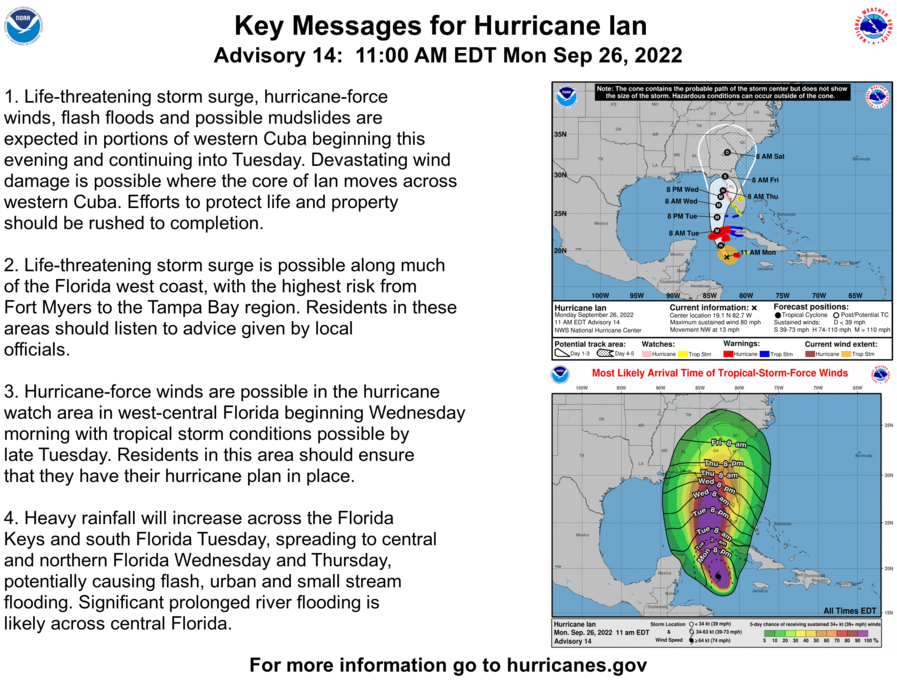
As of 11 a.m., a life-threatening storm surge is possible along the Florida west coast with the highest risk from Fort Myers to the Tampa Bay region. Portions of Tampa are already being evacuated as residents prepare.
Hurricane-force winds are possible in the hurricane watch area in west-central Florida beginning Wednesday morning and tropical storm conditions are possible by late Tuesday, NOAA forecasted.
Hurricane #Ian Advisory 14A: Ian Continues to Intensify. Conditions in Western Cuba to Deteriorate This Evening and Tonight With Significant Wind and Storm Surge Impacts Expected. https://t.co/tW4KeFW0gB
— National Hurricane Center (@NHC_Atlantic) September 26, 2022
Multiple universities across the state have already shut down in preparation for Hurricane Ian. The University of Central Florida (USF) has already canceled classes until Thursday, according to The Oracle. The University of Tampa (UT) will be closed for the entire week.
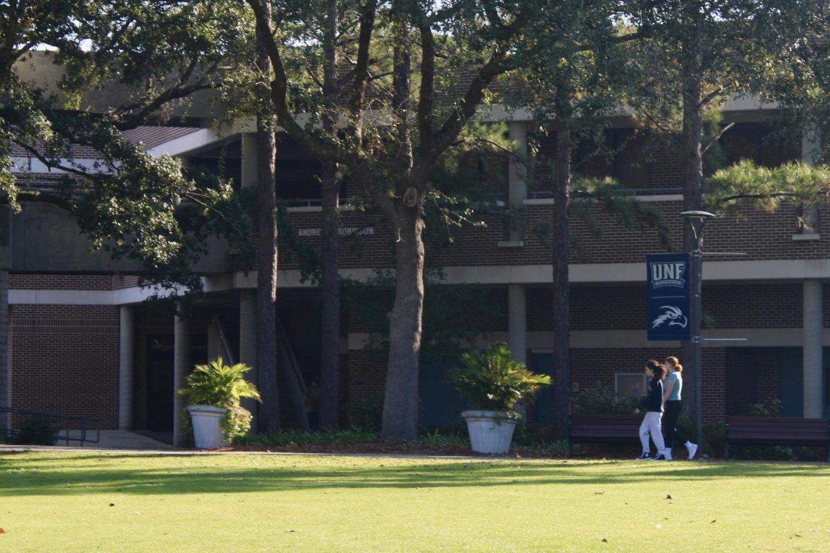
UNF has not released anything to the campus community about the cancellation of classes or shutting down the university as of publishing.
“At this time, the University continues to operate on a normal schedule. While there is uncertainty in the long-range forecast,” officials wrote in a university-wide email Sunday. “Now is the time to consider your personal hurricane plan.”
Florida’s state of emergency is still in effect, implemented by Gov. Ron DeSantis on Saturday.
Spinnaker created an informational article on hurricanes earlier this year. Read it here.
Follow along with NOAA’s updates on Hurricane Ian here.
Stay with Spinnaker as we continue to cover Hurricane Ian.
___
For more information or news tips, or if you see an error in this story or have any compliments or concerns, contact [email protected].