
Hurricane Ian made landfall in Florida as a Cat. 4 Wednesday afternoon, bringing maximum sustained winds of 155 miles per hour — two miles shy of a Cat 5. — and sending a flurry of alerts across the state.
NOAA’s 5 p.m. update placed the eye of Hurricane Ian about 5 miles east of Punta Gorda. Ian is expected to move across central Florida Wednesday night and Thursday morning, later emerging over the western Atlantic by late Thursday.
It’s forecasted to turn northward on Friday and approach the northeastern Florida coast, Georgia and South Carolina coasts late Friday.
Hurricane Ian’s maximum sustained winds have dropped closer to 140 miles per hour since landfall, with even higher gusts. NOAA forecasts Ian will weaken more over the next few days but still be near hurricane strength as it moves over the Florida east coast on Thursday.
Gov. Ron DeSantis reported at least 1.1 million power outages across the state during a Wednesday evening address.
“Catastrophic wind damage is beginning along the southwestern coast of Florida today near the landfall location,” NOAA wrote in a 11 a.m. update on Wednesday.
Forecasts expect hurricane conditions to extend along Florida’s east-central coast Wednesday night with heavy rainfall across the state on Thursday.
Watch this video a Spinnaker reporter captured from the St. Augustine shoreline Wednesday afternoon where the water is usually 20 to 30 feet past the rocks. Today, the waves were coming up to the rocks.
Safety on campus
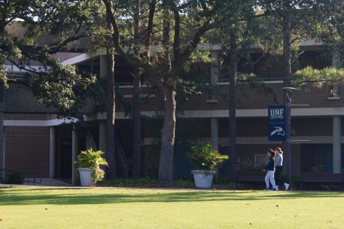
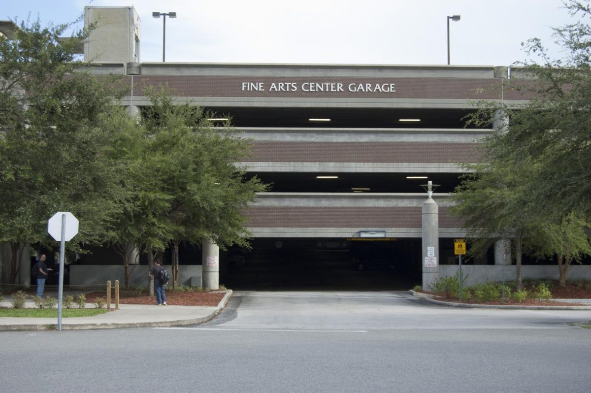
The University of North Florida has canceled all operations until Saturday, according to a campus-wide notice on Tuesday. Residents still on campus are encouraged to take the following steps to ensure their safety.
For residents on the ground floor of buildings subject to flooding:
- If necessary, relocate equipment and valuables to a higher floor. (Be sure that equipment and valuables that are moved outside your office are tagged for easy identification and retrieval).
- If relocation to a higher floor is not feasible, cover and secure or encase and seal equipment and other valuables with plastic
For all residents:
- Relocate contents from bottom drawers of desks and file cabinets to locations safe from water damage.
- Move all equipment, books, papers and valuables away from windows, off the floor, and to interior areas of the building. (Be sure that equipment and valuables that are moved outside your office are tagged for easy identification and retrieval).
- Cover and secure or encase and seal equipment and other valuables with plastic.
- Clear desktops, tables and exposed horizontal surfaces of materials subject to damage.
- Close and latch (or secure with tape) all filing cabinets.
- To the extent possible, turn bookcases, shelving units, etc. around to face walls.
- Place telephones in desk drawers. Leave telephones plugged in (you will be able to receive emergency messages)
For updates from UNF, visit here.
Current advisories in effect as of 5 p.m. Wednesday, according to NOAA
Hurricane Warning
- Chokoloskee to Anclote River, including Tampa Bay
- Sebastian Inlet to Flagler/Volusia County Line
Storm Surge Warning
- Suwannee River southward to Flamingo
- Tampa Bay
- Flagler/Volusia Line to the mouth of the South Santee River
- St. Johns River
Tropical Storm Warning
- Indian Pass to the Anclote River
- Flamingo to Sebastian Inlet
- Flagler/Volusia County Line to Surf City
- Flamingo to Chokoloskee
- Lake Okeechobee
- Bimini and Grand Bahama Islands
Storm Surge Watch
- North of South Santee River to Little River Inlet
- Florida Bay
Hurricane Watch
- Flagler/Volusia County Line to the South Santee River
- Lake Okeechobee
Tropical Storm Watch
- North of Surf City to Cape Lookout
Understanding advisories, according to NOAA
A Storm Surge Warning means there is a danger of life-threatening flooding, from rising water moving inland from the coastline, in the indicated locations. For a depiction of areas at risk, please see the National Weather Service Storm Surge Watch/Warning Graphic, available at hurricanes.gov. This is a life-threatening situation. Persons located within these areas should take all necessary actions to protect life and property from rising water and the potential for other dangerous conditions. Promptly follow evacuation and other instructions from local officials.
A Hurricane Warning means that hurricane conditions are expected somewhere within the warning area. Preparations to protect life and property should be rushed to completion.
A Tropical Storm Warning means that tropical storm conditions are expected somewhere within the warning area.
A Storm Surge Watch means there is a possibility of life-threatening inundation, from rising water moving inland from the coastline, in the indicated locations during the next 48 hours.
A Hurricane Watch means that hurricane conditions are possible within the watch area.
Stay with Spinnaker as we continue to cover Hurricane Ian and its impact on UNF.
___
For more information or news tips, or if you see an error in this story or have any compliments or concerns, contact [email protected].