Update: 10/4/16 11:30 a.m
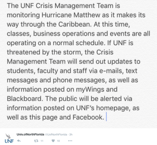
The UNF Crisis Management Team is tracking Hurricane Matthew as it moves towards Florida.
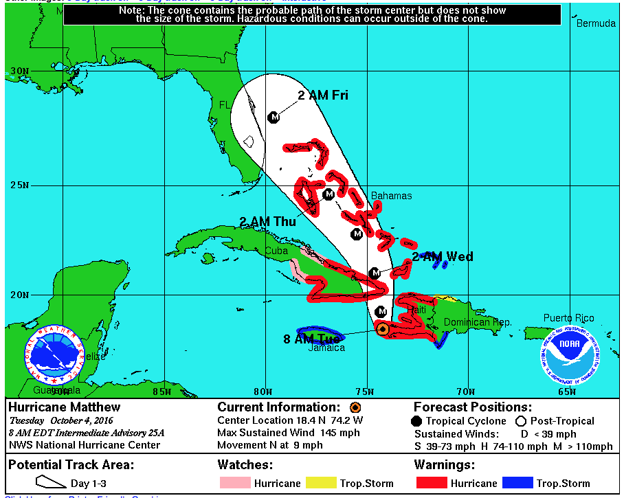
A hurricane watch is in effect from southeast Florida up to Volusia/Brevard County line, according to the National Hurricane Center.

Hurricane Matthew made landfall in Haiti at 7 a.m. this morning. The category 4 storm is expected to continue traveling north, with maximum sustained winds of 145 mph, according to the National Hurricane Center (NCH).
Yesterday, Florida went into a state of emergency in anticipation of hurricane Matthew’s impact. As of right now, a portion of the eastern half of the Peninsula has a greater than 60 percent chance of seeing tropical storm force winds, according to the Florida Division of Emergency Management.
Tropical storm and/or hurricane warnings are likely to be issued for Florida later this morning, the NCH said. The storm’s path is still difficult to predict, but it has shifted closer to Florida and could affect the southeast coast from the Florida Keys to North Carolina.
According to a release from the office of Florida Governor Rick Scott, “the state’s entire east coast from Monroe to Nassau counties could experience tropical storm force winds, beach erosion, rip currents and heavy rain.”
The storm is moving slow, at about 9 mph according the the NCH, and isn’t expected to make landfall in Florida until Thursday.
Spinnaker will continue to follow and update this story.
—
For more information or news tips, or if you see an error in this story or have any compliments or concerns, contact editor@unfspinnaker.com.


